Pelagios digital map of the Greco-Roman world
A really useful online tool for anyone studying the Classical world or working on mapping techniques is the digital map of the Greco-Roman world produced by PELAGIOS.
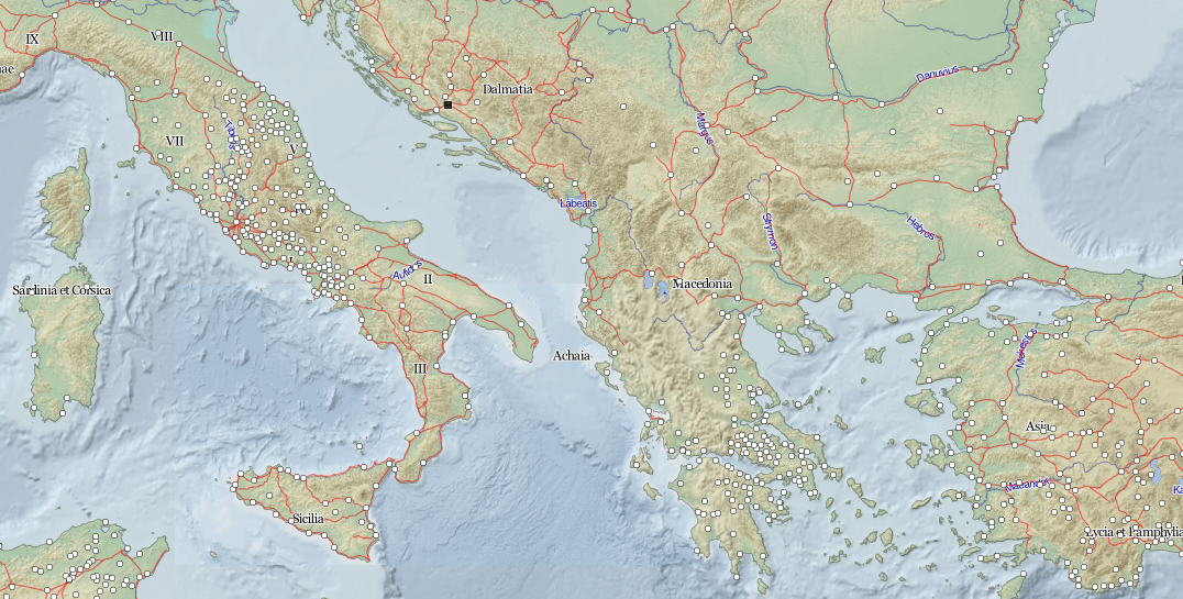
It was originally developed from the comprehensive Barrington Atlas of the Greek and Roman World, which maps ancient places mentioned in sources from archaic Greece to the Late Roman Empire. Geographically, it stretches from the British Isles to the Indian sub-continent and from the Baltic to North Africa. As well as place-names it includes features such as Roman roads and aqueducts, as detailed on the legend.
PELAGIOS (Pelagios: Enable Linked Ancient Geodata In Open Systems) seeks to help introduce Linked Open Data into online resources that refer to places in the historic past. You can read more about the project on their blog.